

metaBOF is a violation and ANPR data processing software, managing the data from it’s source at the camera, all the way to the visualization on the web interface, giving users efficient access to the collected data.
The metaBOF client is a HTML5 application running in a browser.
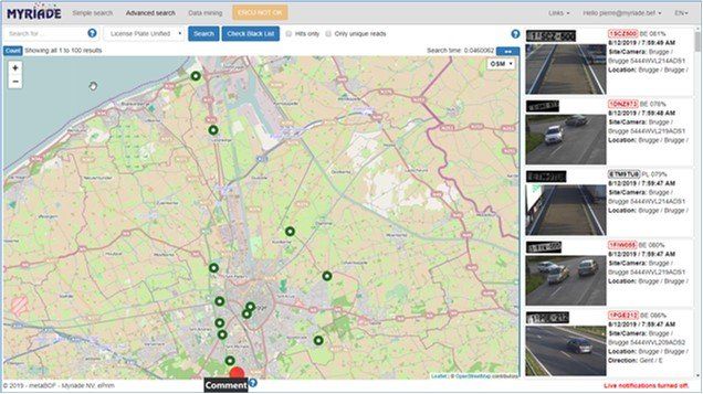
The metaBOF software has been designed to allow different services to search through Reads from different types of ANPR cameras (manned, unmanned, fixed, movable, mobile, section control, etc.) in order to use it for various purposes (legal services, investigations, traffic applications, etc.).
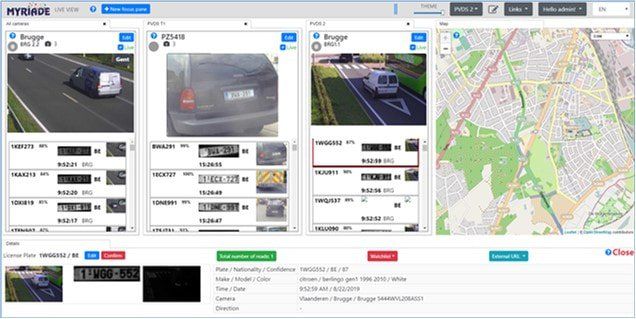
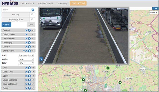
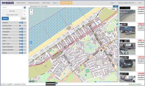
Searches can be done based on a particular license plate, but also on time, place, time period, brand of vehicle, country etc., or combinations thereof.
Automatic number plate recognition is a technique using optical character recognition to read license plates on vehicles. The now established term for this technique is the English abbreviation ANPR: Automatic Number Plate Recognition.
In 2008, a first version of metaBOF was created, which, after several revisions and updates, can now be used in entirely different and multiple local areas for both mobile and fixed installations.
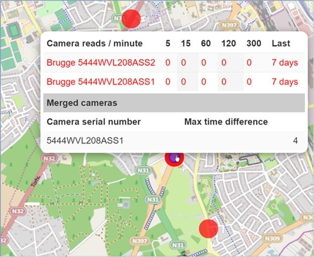
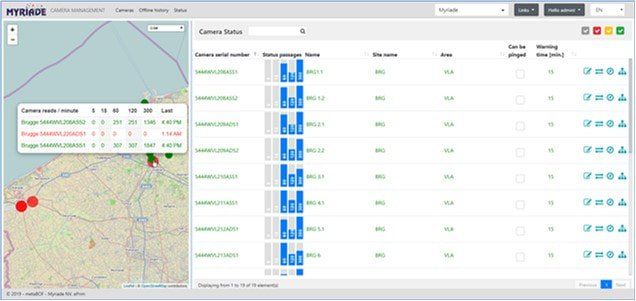
Myriade has by now connected cameras from numerous suppliers and keeps adding new ones all the time. A list of these can be made available.